There was an issue validating your request. Please try again later.

Campus paving begins April 15. Please refer to the Helpful Info page for updates regarding temporary changes to campus access. Trails remain open.

The Wrack

The Wrack is the Wells Reserve blog, our collective logbook on the web.

Disaster Response Plan for Wells Reserve and Its Watersheds

Posted by | March 5, 2014 | Filed under: Program Activities

Goal

Develop a disaster response plan for the Wells Reserve and surrounding watersheds that complements and coordinates with local and county efforts and that will serve as a model for other natural resource organizations and agencies.

Bridge washout on Skinner Mill Road due to 2006 Mother's Day stormWhy Do This Project?

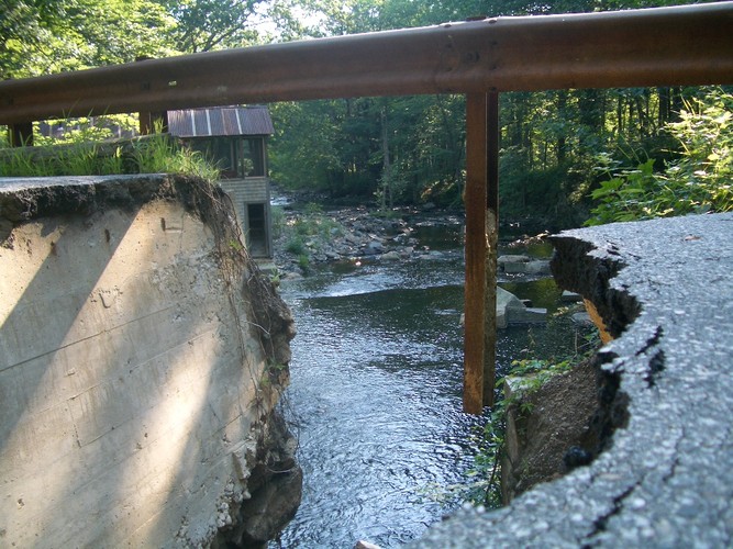
The Julie N oil spill in Portland Harbor (1996), Mother's Day storm (2006), and Patriot's Day storm (2007) caused extensive environmental and infrastructure damage to the coastal areas of southwest Maine. More recently this region was narrowly spared the great devastation caused by Hurricanes Irene (2011) and Sandy (2012). These events have reinforced that:

  • the occurrence of natural and man-made disasters is unpredictable
  • a lack of preparation can result in a slower and less efficient response
  • resilience of natural resources and man-made infrastructure to disasters can be "built in" in advance to some degree

Project Period

July 2013 to December 2014

Activities

  1. Wells Reserve will become actively involved in town and county-wide disaster response planning. The reserve will bring a natural resource focus to disaster response planning and will advance the use of new technologies.
  2. Wells Reserve will develop a Disaster Response Plan that will assist the reserve and local emergency management partners in coordinating responses to natural or man-made disasters. This plan will focus on the natural resources of the reserve, including portions of the Rachel Carson National Wildlife Refuge, as well as resources in the Ogunquit, Webhannet, and Little River (Merriland River, Branch Brook) watersheds.
  3. Wells Reserve will pilot and demonstrate the use of emerging technology in the development and implementation of the Disaster Response Plan. It will use software tools such as the Climate Change Vulnerability Assessment Tool for Coastal Habitats (CCVATCH) to identify at-risk resources and mobile devices to prepare for and manage disaster response.
  4. Wells Reserve will deliver at least three presentations to other entities that could benefit from its experience, with the purpose of motivating them to develop a disaster response plan including contingencies for natural resources.

Products

Disaster Response Plan (planned for December 2014)

Funding

  • CZMA Section 315 Supplemental Award
  • Reserve Management Authority
  • Town of Wells

← View all Blog Posts